HIGHWAY 16
CONDITIONS
Highway 16 — the Yellowhead — cuts east-west across Saskatchewan through Saskatoon. It's the main route to North Battleford, Lloydminster, and Yorkton. Open prairie crosswinds, ground blizzards, and long stretches between towns make this one of the province's toughest winter drives.
KNOWN TROUBLE SPOTS
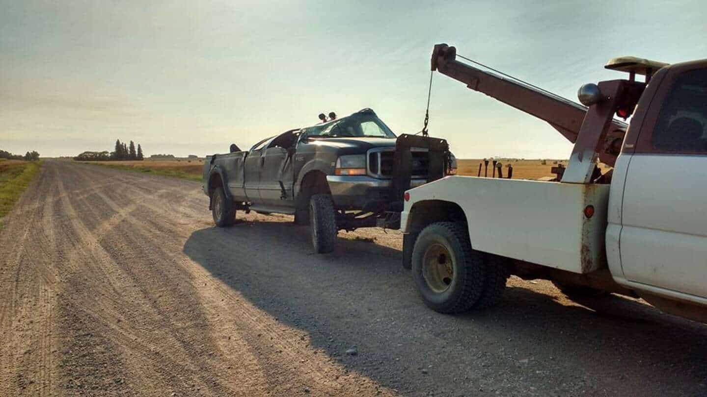
After 13 years of towing on Highway 16, we know exactly where drivers get into trouble. Here are the spots to watch.
Langham Curve
A sweeping curve through Langham where speed and ice combine for frequent slide-offs. The ditch is deep on the north side. One of our most common winter call locations west of the city.
Radisson Open Prairie
Wide-open flat prairie with nothing to break the wind. Ground blizzards form here with little warning — visibility drops to zero in minutes. Vehicles pile up when drivers can't see the road edge.
Denholm Stretch
Rolling terrain with blind crests. Trucks hauling grain lose momentum on the grades and create speed differentials. Ice forms in the shaded valleys between hills.
North Battleford Approach
Speed transition zone with intersection conflicts. The bridge over the North Saskatchewan River ices before the road surface does. Black ice catches drivers off guard.
Clavet & Dundurn (East)
Agricultural traffic merging onto the highway during seeding and harvest. Slow-moving farm equipment creates hazards, especially at dusk. Soft shoulders in spring.
Saskatoon City Transitions
Where the highway becomes city streets — Idylwyld Freeway interchange, Circle Drive connections. Congestion-related fender benders and winter spin-outs on the overpasses.
OUR RESPONSE ON HIGHWAY 16
COMMON QUESTIONS

STUCK ON HIGHWAY 16?
Check conditions before you drive. Save our number before you go. If you end up in the ditch, we're already on our way.