SASKATCHEWAN
ROAD CONDITIONS
Check before you travel. Here's how to read the Highway Hotline, what today's alerts actually mean, and who to call when conditions leave you stranded.
Right now the Highway Hotline is dominated by construction. Saskatchewan's 2026 building season is in full swing through June, so the most common alerts on Highways 11, 12, and 16 are orange zones, lane reductions, pilot-truck escorts, and gravel-surface detours — not winter hazards. Always check the Hotline before a long trip; conditions and closures can change three times a day or faster after a storm or a crash.
Last updated June 12, 2026
HOW TO CHECK ROAD CONDITIONS
Saskatchewan runs one official source — the provincial Highway Hotline. Three free ways to reach it, no account required.
Highway Hotline website
The province's official live map. Tap and hold any stretch of highway to see its current condition, active construction, closures, and detours. Includes 40+ live highway cameras and weather-station readings across the province.
Call 511
Free automated road report by phone — useful when you're already driving and can't look at a screen. Pull over first. From outside Saskatchewan, dial 1-888-335-7623.
Highway Hotline app
The Ministry of Highways' free app. Set your regular routes as favourites and get push alerts for new closures, construction, and condition changes before you leave the driveway.
WHAT THE HOTLINE SHOWS YOU
It's more than a road report. The Highway Hotline is the same tool our dispatchers watch all day.
READING THE STATUS
The Hotline flags every stretch by condition. Here's what each one means — and what to do when you see it.
Clear / No reported problems
Bare, dry pavement and normal driving. The default summer status outside of construction zones.
What to do: Drive normal limits, but watch for orange zones that can appear with little warning.
Construction / Orange Zone
Active work: lane closures, reduced speed zones, gravel surfaces, flag people, and pilot trucks. The dominant alert through summer.
What to do: Slow to the posted limit (60 km/h past workers and equipment), leave extra following distance, and expect sudden stops.
Slippery / Reduced visibility
Wet, icy, or drifting sections, or smoke and dust cutting visibility. Common in winter, but summer rain and harvest dust trigger it too.
What to do: Slow down, increase following distance, and turn on your headlights. If you can't see, don't crowd the vehicle ahead.
Travel not recommended
Conditions are dangerous — heavy snow, ice, flooding, or near-zero visibility. The road is technically open, but the province is advising you not to drive it.
What to do: Delay your trip if you can. If you're already out and in trouble, get to a safe spot and call for help — don't push on.
Closed
The highway is shut to traffic — a collision, washout, blizzard, or major construction. A detour is usually posted on the map.
What to do: Do not drive around barricades. Follow the posted detour, and if you're stranded behind a closure, call us.
CONDITIONS BY SEASON
What the Hotline looks like changes through the year. Here's the cycle on the Highway 11, 12, and 16 corridor — and our guide for each.
Spring — road bans & breakup
March to May, the Hotline fills with weight restrictions and soft grid roads. Mud and ditch recoveries peak.
Saskatchewan Spring Road Bans →Summer — construction & orange zones
May to October is building season. Expect lane reductions, gravel detours, and reduced limits on Highways 11, 12, and 16. This is the busiest stretch of the year on the Hotline.
Highway Construction Guide →Fall — harvest traffic & early frost
Combines and grain trucks share the highways, and the first frost brings slick mornings and more wildlife on the move at dusk.
Hit a Deer in Saskatchewan →Winter — storms, ice & whiteouts
November to April, "travel not recommended" and closures dominate. Track My Plow goes live, and a single blizzard can shut a corridor in minutes.
Winter Driving Tips →KNOWN TROUBLE SPOTS
The Hotline tells you the road is bad. It doesn't tell you where it goes bad. These are the spots we get called to on Highways 12, 11 and 16 — by kilometer, by season, from our own tow sheets.
HIGHWAY 12 — SASKATOON TO BLAINE LAKE
Highway 12 is a two-lane undivided highway with limited cell coverage in some stretches. Winter conditions can deteriorate quickly between Saskatoon and Blaine Lake. Check the hotline before heading out.
Response: 15–30 min anywhere on the corridor · Towns: Martensville, Blaine Lake, Marcelin, Leask, Laird, Krydor
Martensville North Exit
WINTERKm 10–15 north of Saskatoon
Where city traffic meets rural highway speed. Intersection conflicts, especially during rush hour. Ice builds up at the stop signs where vehicles idle and compact snow.
Grid Road Intersections
YEAR-ROUNDMultiple points between Km 20–60
Unmarked and poorly lit grid road crossings every few kilometers. Farm equipment pulls onto the highway with limited visibility. Dust in summer, ice in winter, mud in spring.
The Leask Turnoff
YEAR-ROUNDKm 55 at Highway 40 junction
A busy rural intersection where Highway 12 meets Highway 40. Semis and grain trucks turning create hazards. Poor sightlines over the hill approaching from the south.
Marcelin Stretch
YEAR-ROUNDKm 65–75 near Marcelin
Narrow shoulders with deep ditches on both sides. The road follows the terrain — rolling hills with blind crests. Wildlife crossings are frequent, especially at dusk.
Blaine Lake Approach
SPRINGKm 80–90 entering Blaine Lake
Speed drops from 110 to 50 quickly. The road surface deteriorates near town. Spring breakup creates potholes and soft edges that pull vehicles toward the ditch.
Spring Breakup Zone
SPRINGFull corridor, Km 20–80
When the frost comes out in April, Highway 12's shoulders turn to mush. Vehicles that drift even slightly off the pavement sink into soft gravel. This is our busiest season on this road.
HIGHWAY 11 — SASKATOON TO PRINCE ALBERT
Highway 11 between Saskatoon and Prince Albert is frequently flagged for reduced visibility, icy conditions, and blowing snow in winter months. Always check before heading north.
Response: 20–40 min anywhere on the corridor · Towns: Warman, Martensville, Hague, Rosthern, Duck Lake, Macdowall
Warman Interchange
WINTERKm 10–15 north of Saskatoon
Heavy merge traffic and icy on-ramps in winter. Rear-end collisions and spin-outs spike here during morning and evening commutes.
Hague Curve & Transition Zone
YEAR-ROUNDKm 40 near Hague
The highway narrows from divided to undivided near Hague. Drivers misjudge the transition, especially at night or in whiteout conditions. One of our most frequent call areas.
Rosthern Hill
WINTERKm 70 south of Rosthern
A long downhill grade that ices over early in fall. Loaded semis and grain trucks lose traction here regularly. The ditch is deep on both sides.
Duck Lake Approach
SPRINGKm 85 near Duck Lake
Open prairie crosswinds push vehicles into the ditch. The shoulder narrows and the ditch drops off steeply. Spring breakup softens the edges.
Macdowall Stretch
YEAR-ROUNDKm 110–125 north of Duck Lake
Low-traffic stretch with wildlife crossings. Deer and moose collisions peak at dawn and dusk. Poor cell service makes it harder to call for help.
Prince Albert South Approach
WINTERKm 130–140 approaching PA
Speed transitions and intersection conflicts as the highway enters the city. Black ice forms early here due to river valley humidity.
HIGHWAY 16 — YELLOWHEAD HIGHWAY THROUGH SASKATOON
Highway 16 west of Saskatoon toward North Battleford is especially prone to blowing snow and reduced visibility. The stretch between Radisson and Denholm is frequently flagged for travel not recommended conditions.
Response: 20–45 min across the corridor · Towns: Langham, Radisson, Denholm, North Battleford, Clavet, Dundurn
Langham Curve
WINTERKm 30 west of Saskatoon
A sweeping curve through Langham where speed and ice combine for frequent slide-offs. The ditch is deep on the north side. One of our most common winter call locations west of the city.
Radisson Open Prairie
WINTERKm 80–110 west of Saskatoon
Wide-open flat prairie with nothing to break the wind. Ground blizzards form here with little warning — visibility drops to zero in minutes. Vehicles pile up when drivers can't see the road edge.
Denholm Stretch
YEAR-ROUNDKm 110–130 approaching North Battleford
Rolling terrain with blind crests. Trucks hauling grain lose momentum on the grades and create speed differentials. Ice forms in the shaded valleys between hills.
North Battleford Approach
WINTERKm 135–140 entering North Battleford
Speed transition zone with intersection conflicts. The bridge over the North Saskatchewan River ices before the road surface does. Black ice catches drivers off guard.
Clavet & Dundurn (East)
SPRINGKm 20–40 east/south of Saskatoon
Agricultural traffic merging onto the highway during seeding and harvest. Slow-moving farm equipment creates hazards, especially at dusk. Soft shoulders in spring.
Saskatoon City Transitions
YEAR-ROUNDHighway 16 through Saskatoon
Where the highway becomes city streets — Idylwyld Freeway interchange, Circle Drive connections. Congestion-related fender benders and winter spin-outs on the overpasses.
WHEN THE ROAD WINS
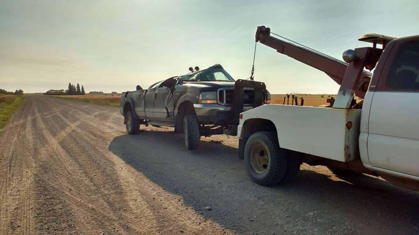
When conditions leave you stranded — behind a closure, in the ditch, or broken down on a detour — we run 24/7 across the corridor.
Stuck behind a closure
The Hotline shows your route closed and the detour adds two hours — or your vehicle quit while you waited it out. We'll come to you.
Slid off in a storm
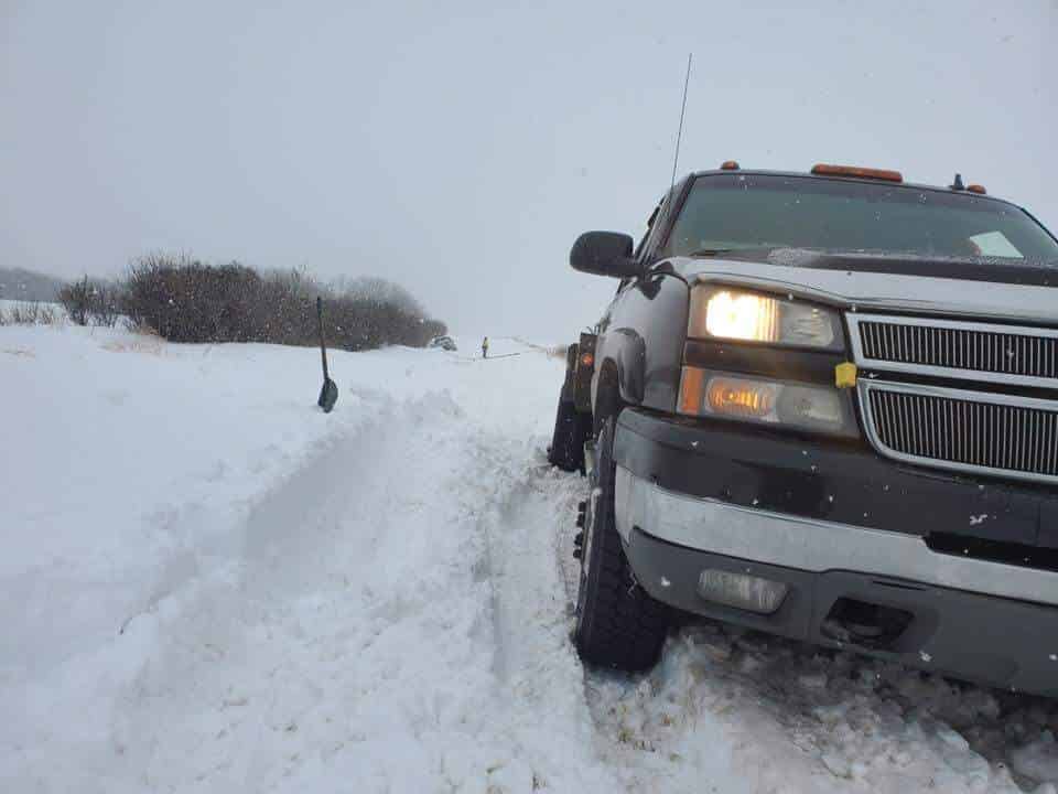
"Travel not recommended" turned into the ditch. We run winch trucks built for Saskatchewan weather and pull vehicles out of snow and mud 24/7.
Broke down on a gravel detour
Construction detours route you onto rough gravel that's hard on tires and suspension. If you're stranded on a back road, we know the corridor.
Overheated in a construction backup
Long waits in an orange zone on a hot day push older cooling systems past their limit. If you're stopped on the shoulder, call before it gets worse.
ROAD CONDITIONS FAQ
STRANDED ON A SASKATCHEWAN HIGHWAY?
Closure, storm, ditch, or breakdown — when the road wins, we don't quit. Bro's Tows runs 24/7 across the Highway 11, 12, and 16 corridor between Blaine Lake, Saskatoon, and Prince Albert.